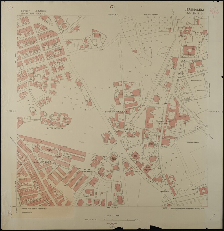
Map of Jerusalem (1:1250), District 170-130. Sub-District 6. C., Surveyed 1936, Published 1938
غرض
- وصف
- Map of Jerusalem (1:1250), District 170-130. Sub-District 6. C., Surveyed 1936, Published 1938. Undertaken by Survey of Palestine.
- التغطية المكانية
- موضوعات
- Israel
- المنشئ
- British Administration: Survey of Palestine
- تاريخ
- 1936
- 1938
- المعرف
- EUL MS 478/9
- Resource class
- Image
