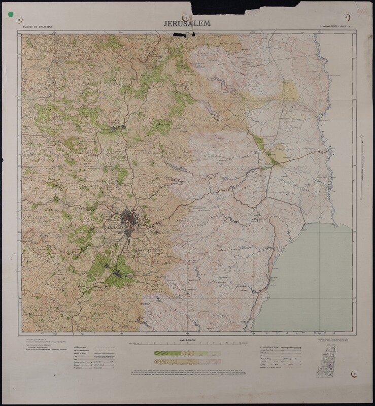
Map of Jerusalem - Regional (1:100,000), Surveyed 1934, Published 1939
غرض
-
وصف
-
Map of Jerusalem - Regional (1:100,000), Surveyed 1934, Published 1939. 1:100,000 Series, Sheet 8. Compiled, Drawn & Printed under the direction of F.J. Salmon, Commissioner for Lands & Surveys, Palestine, 1934. Surveyed by plane-table 1933-34. Contours from Military Surveys 1918 & Survey of Palestine 1934. Photo-Zincography by Survey of Palestine. Roads revised to September 1939.
-
التغطية المكانية
-
موضوعات
-
Israel
-
المنشئ
-
Compiled, Drawn & Printed under the direction of F.J. Salmon, Commissioner for Lands & Surveys, Palestine, 1934. Surveyed by plane-table 1933-34. Contours from Military Surveys 1918 & Survey of Palestine 1934. Photo-Zincography by Survey of Palestine. Roads revised to September 1939.
-
تاريخ
-
1934
-
1939
-
المعرف
-
EUL MS 478/9
- Resource class
- Image
