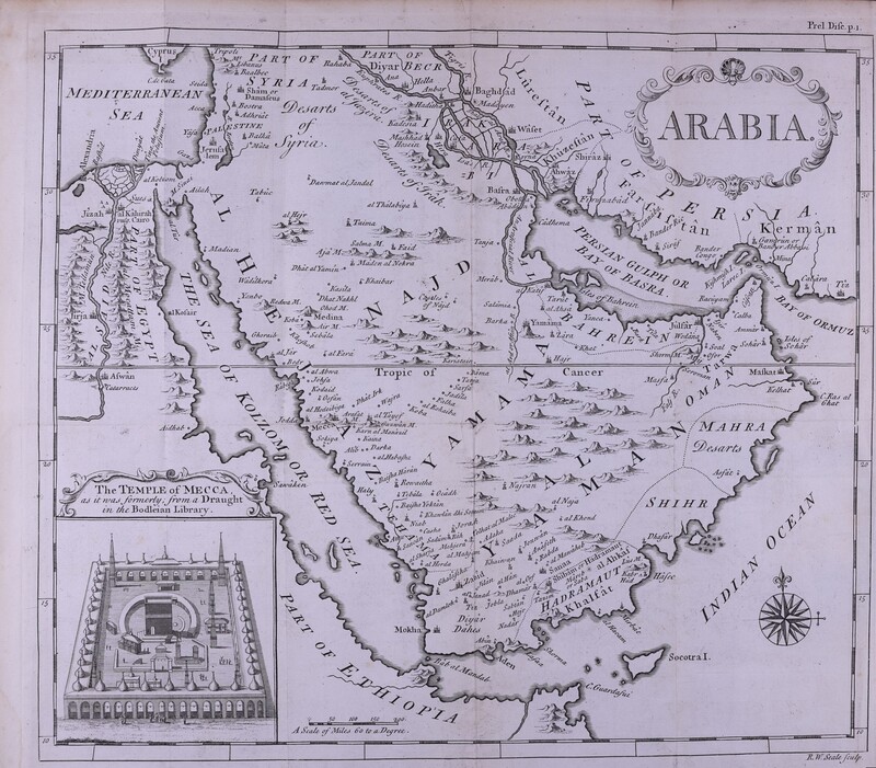
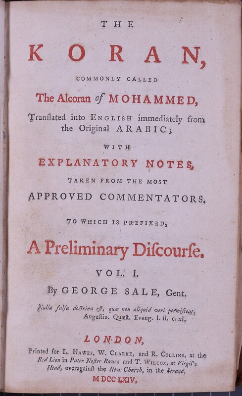
خريطة القرن الثامن عشر للجزيرة العربية
غرض
- وصف
- خريطة قابلة للطي للجزيرة العربية نقشها ريتشارد ويليام سيل (١٧٠٣-١٧٦٢) من ترجمة جورج سيل للقرآن الكريم. الأماكن المعروضة تشمل شبه الجزيرة العربية، والبحر الأبيض المتوسط، والبحر الأحمر، وفلسطين، وسوريا، والعراق، وفارس، وأجزاء من مصر والحبشة، و"معبد مكة"
- التغطية المكانية
- المملكة العربية السعودية
- موضوعات
- الخليج
- دين الاسلام
- المنشئ
- Richard William Seale
- المعرف
- Reserve Collection 297.122 SAL
- Resource class
- Image


