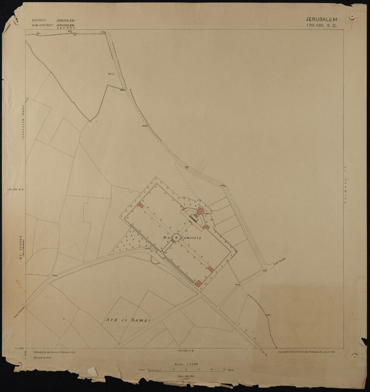
Map of Jerusalem (1:1250), District 170-130. Sub-District 3. C., Surveyed 1936, Published 1938
Item
- Description
- Map of Jerusalem (1:1250), District 170-130. Sub-District 3. C., Surveyed 1936, Published 1938. Undertaken by Survey of Palestine.
- Spatial Coverage
- Jerusalem
- Palestine
- Israel
- Subject
- British administration
- Jerusalem
- Palestine
- Israel
- Creator
- British Administration: Survey of Palestine
- Date
- 1936
- 1938
- Identifier
- EUL MS 478/9
- Resource class
- Image


